Our work in action

Mapping Liberia, one community at a time.

OSM Liberia works with students, local leaders, youth groups, and partners to build better maps, stronger data, and more informed decisions. Each project below reflects a different way our community turns open mapping into real community impact.

Field Mapping Project in Liberia
Field Mapping

Field Mapping for Rural Development

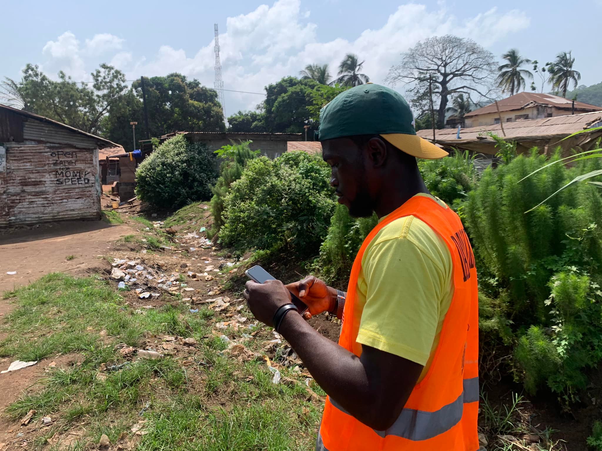
This project focused on collecting and updating geographic information in rural communities, especially in areas where local infrastructure and service access were poorly represented. Community mappers conducted field surveys to document roads, health posts, schools, roads, and water points.
Impact: Better local planning, more reliable service access data, and stronger evidence for community development programs.
Commonwealth amenities map project
Data & Analysis

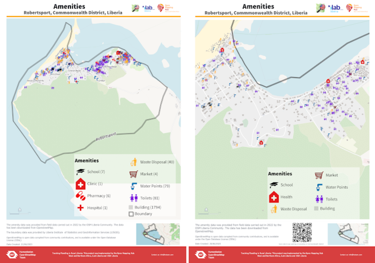
Commonwealth Amenities Map

The Commonwealth Amenities Map project mapped essential amenities and public infrastructure to make it easier for planners, researchers, and local organizations to understand access gaps. It helps visualize where services are concentrated and where communities remain underserved.

Impact: Supports planning, local decision-making, and evidence-based resource distribution across communities.
Open City Monrovia project
Urban Mapping

Open City Monrovia

Open City Monrovia is a city-focused mapping effort designed to improve the visibility of urban infrastructure, informal settlements, and public spaces in Monrovia. The project helps communities better understand the built environment and supports planning and urban resilience work.

Impact: Strengthens urban data quality and gives city stakeholders a clearer picture of local realities.
World Clean Up Day project
Community Action

World Clean Up Day

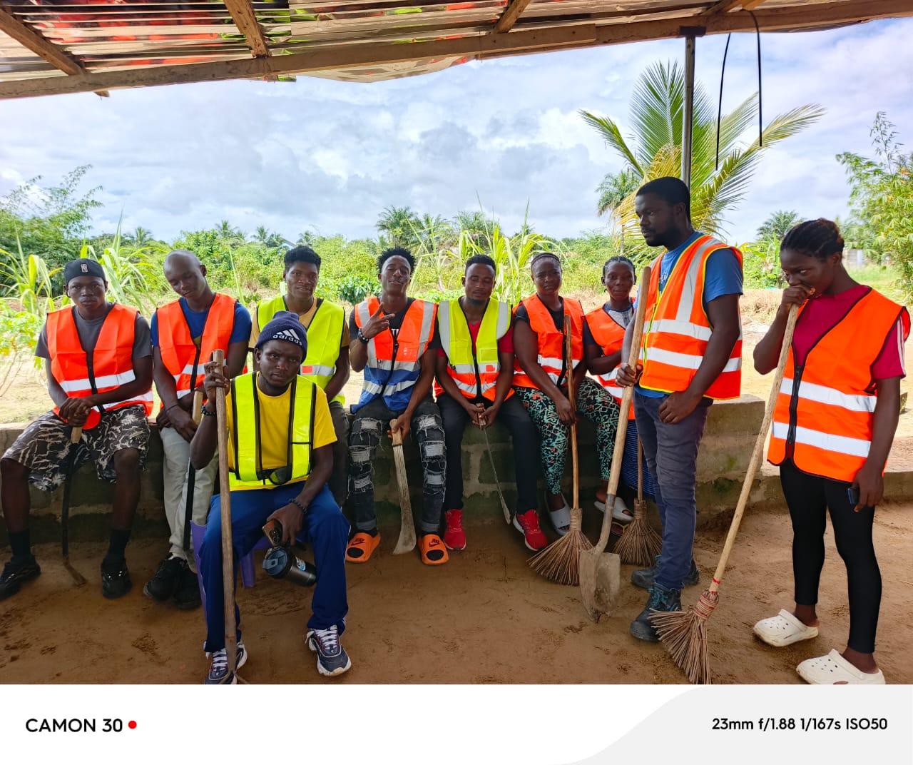
Through the World Clean Up Day initiative, OSM Liberia paired environmental action with spatial data collection. Volunteers mapped waste hotspots, drainage issues, and community cleanup sites while also participating in a local cleanup campaign.

Impact: Connects public health, civic engagement, and mapping to improve neighborhood cleanliness and awareness.
Remote Mappathon
Capacity Building

Remote Mappathon

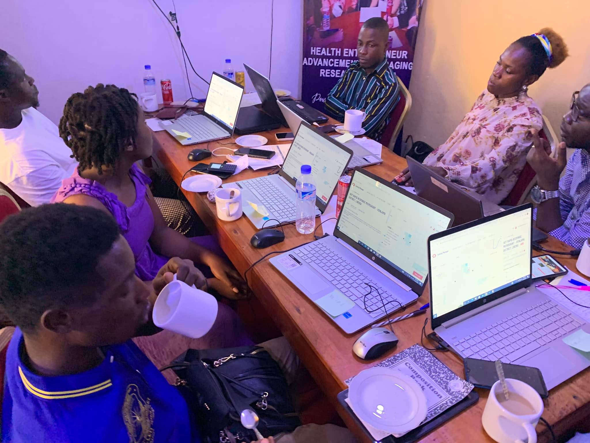
Our remote mappathons gave youth and volunteers the chance to contribute to open mapping from anywhere. These events focused on digitizing features, validating data, and building volunteer confidence in using mapping tools and workflows.

Impact: Expands participation, supports online engagement, and keeps mapping activity continuous beyond physical workshops.
Community engagement project
Outreach

Community Engagement & Stakeholder Outreach

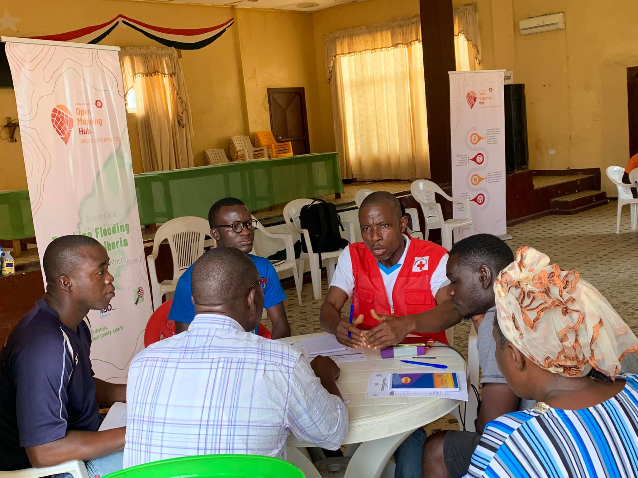
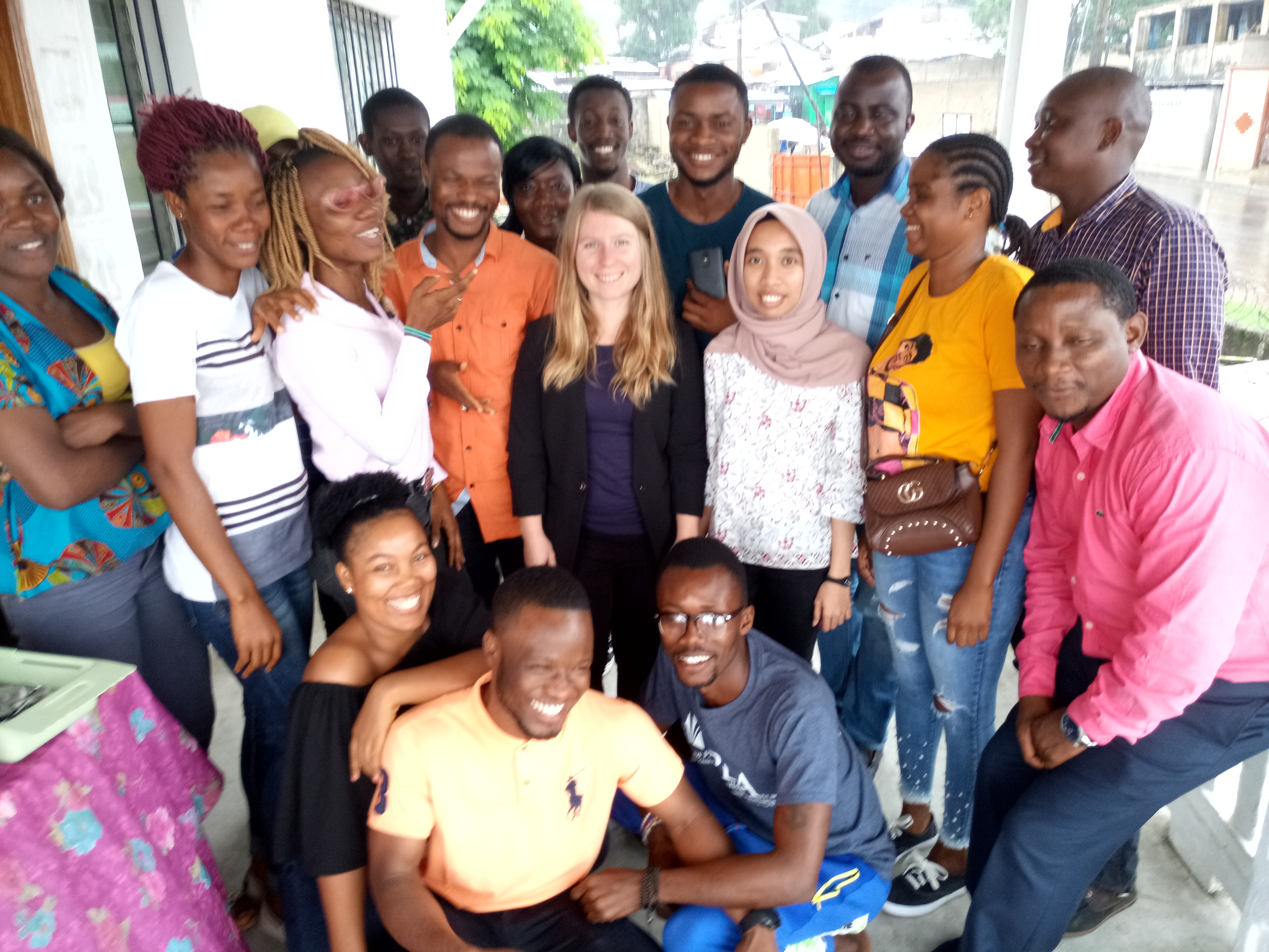
These outreach efforts connect local institutions, civil society groups, and community members to open mapping and digital inclusion. Through conversations, presentations, and partnerships, we help more people understand why open map data matters.

Impact: Builds trust, widens participation, and strengthens the local network behind community mapping.

Why these projects matter

  • Local decision-making Communities gain better information for planning schools, clinics, roads, and services.
  • Youth empowerment Young people learn GIS, digital tools, and community leadership through hands-on participation.
  • Disaster and resilience Mapping helps identify vulnerable areas and supports preparedness and response planning.
  • Open data for public good Every project contributes to a more visible, transparent, and inclusive Liberia.